
Seasearch
Seasearch is a leading provider of vital marine biodiversity data and a legacy project of Marine Conservation Society. It has now evolved independently from our organisation becoming a non profit Community Interest Company (CIC) in its own right.
What does Seasearch do?

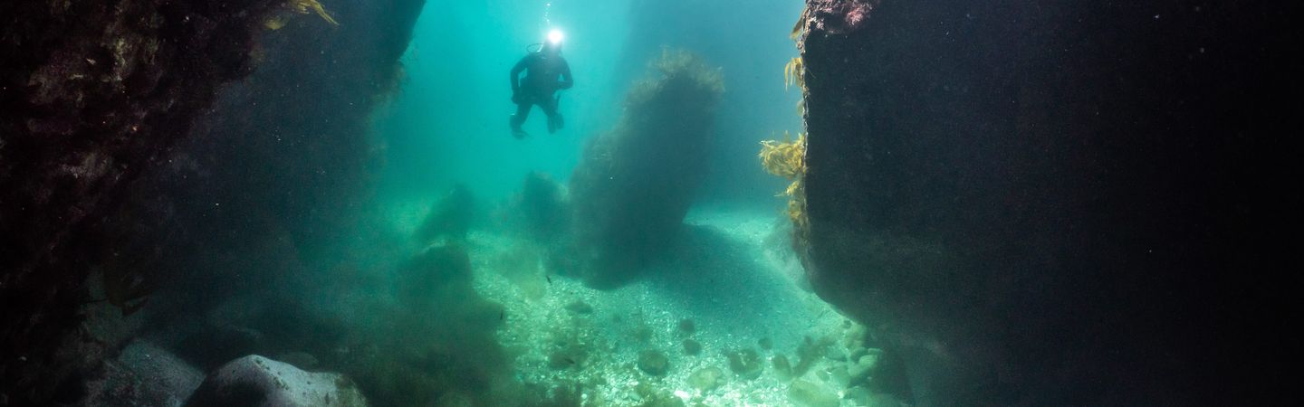
A volunteer diver at Chesil beach | Image credit: Billy Barraclough
What do the findings from Seasearch dives tell us?
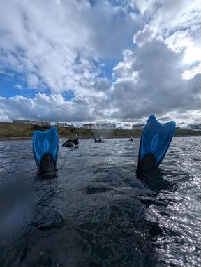
Seasearch volunteer's legs sticking out of hte water at Portballintrae, Northern Ireland | Image credit: Alice Moore
Other citizen science projects to try

Do an in-land clean
No matter where you live across the UK, you can help keep our seas clean. Most of the litter that ends up on our beaches or in the sea starts its journey in villages, towns and cities miles from the coast.
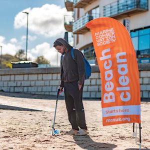
Find a beach clean
Join one of our beach clean surveys and help keep Britain's beaches beautiful and our ocean safe for wildlife.
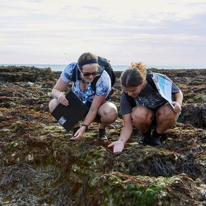
Big Seaweed Search
Help identify, photograph and record 14 key UK seaweed species to help understand the impact of environmental change on our seas.